
- Home
- Releases
LOGMission log
Releases
Each minor release takes a code name from one set: what is observable from orbit. The name identifies the release; the changelog describes it.
Sunset
Fields and minerals join the area, the board gains a compositor, and a project becomes a file.
- Field boundaries delineated from two Sentinel-2 scenes, run and kept by the area that holds them
- For each field: vegetation health, public-register overlap, radar and management zones
- A mineral map: Tetracorder on EMIT reflectance, over the area alone
- A compositor that works the board's rasters as nodes and sends them to the globe in layers
- A PDF report, laid out with Typst from a node in the compositor
- A project as a .terra file, saved out and opened in
- Menus, keys, an operator search and a Console, all run through one operator registry
- A queue that runs one analysis per area, one after another; undo and redo for what is on the board
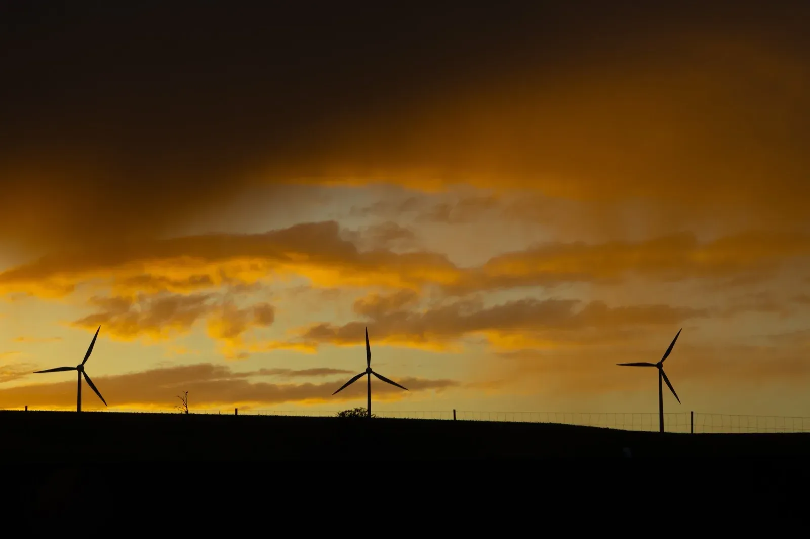
SUNSETbertellifotografia · Pexels Cumulus
Water that moves, the grid a plant would join, and the run laid out as a graph of cards.
- Rainfall routed over an area, as depth, speed and arrival
- The Brazilian operational record: curtailment, grid connection and the transmission network on the map
- The run built on the studio board as cards joined by wires
- A browser where every saved analysis is filed and found
- Rasters drawn at a height on the globe, so a stack can be read, each with its legend tied to its ground
- Workspaces grouped by the work they are for: Board, Land cover, Water and Energy
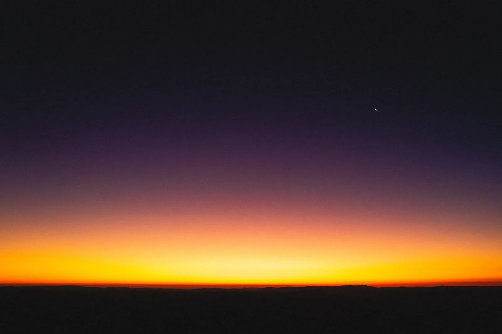
CUMULUSMidtrack · Pexels Draugen
The flood envelope, and one planet for both the map and the studio.
- HAND flood extent, with an envelope measured across four elevation models
- The whole map surface moves to MapLibre and gains a globe with relief
- Class separability in the studio; a plane can be sent back to the ground it measures
- Areas become first-class: an area owns its runs
- The new mark and application icon
Amazon
The energy result in a column of its own, and spectral evidence for every class.
- Each predicted class measured against a spectral library
- A spectral response editor beside the domain shift
- The Rover: a brush sized in metres that marks the same ground on every plane of an area
- The Sentinel-2 radiometric offset applied wherever a number is reported
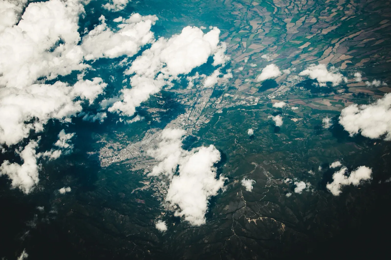
AMAZONPexels Ember
The studio, the crop in three dimensions, and energy.
- A 3D canopy stand lit by the area's own sky, casting shadows
- Crop-masked index series and per-cycle canopy age
- Optional models installed and removed from Settings › System
- Studio whiteboards; an area is the ground it is over, not the run that produced it
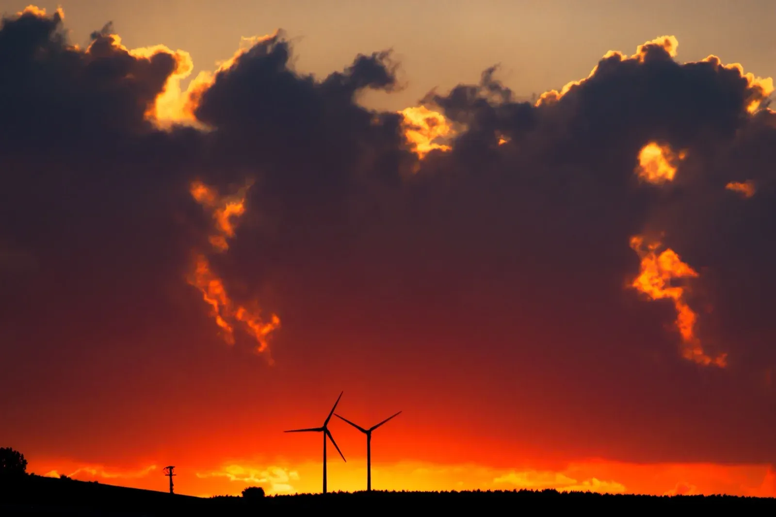
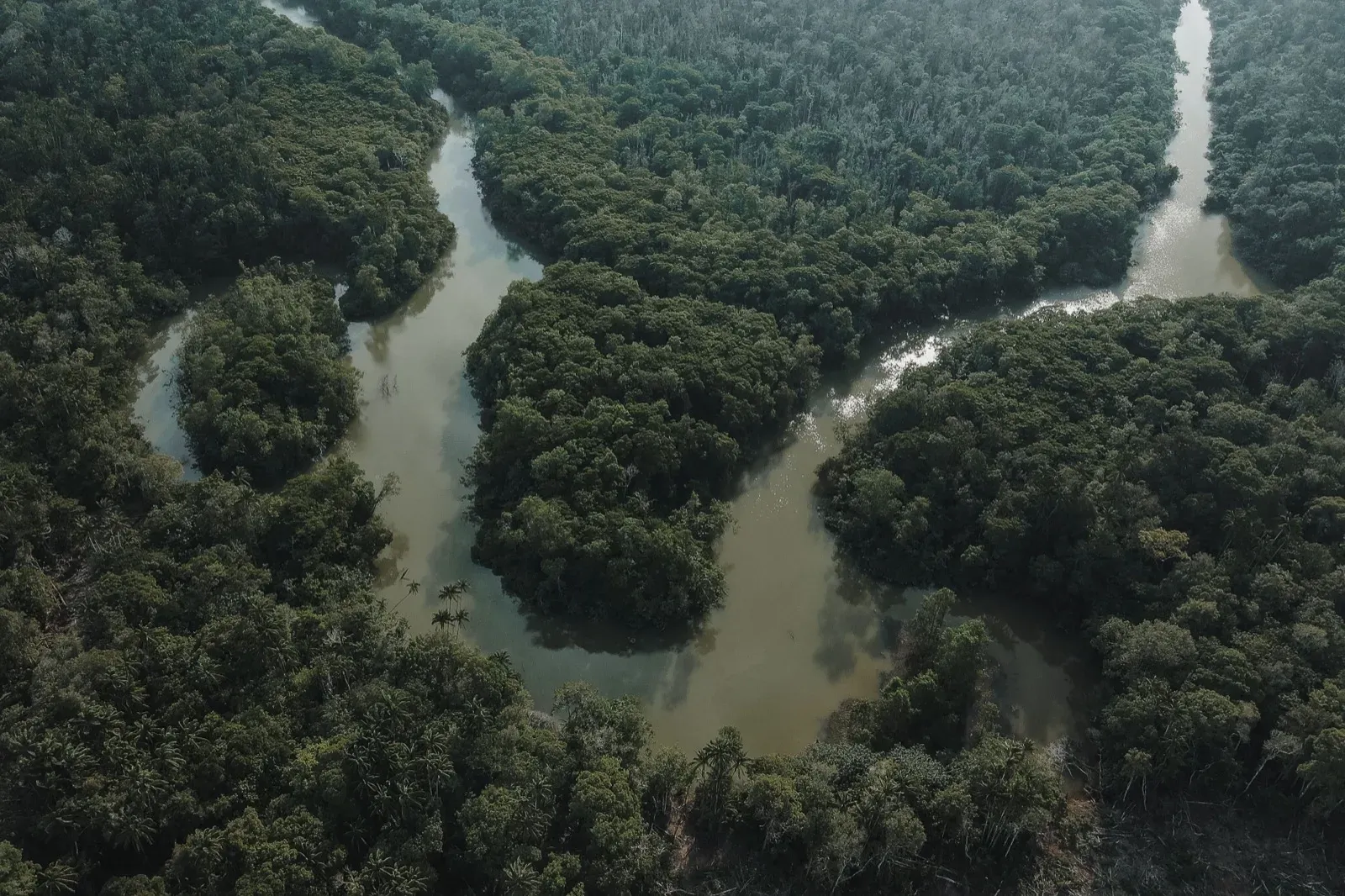
EMBERstonesdonotdisappear · Pexels Release 0.2.0
The product becomes TERRA.
- Temporal Transformer, phenology and cover-map rasters
- Prithvi-EO 2.0 embedding classifiers
- MapBiomas land cover and use analysis for any Brazilian area
- Two saved analyses compared side by side; runs persisted locally
Release 0.1.0
First light, released as geosense-infer.
- Sentinel-2 inference pipeline over the Planetary Computer STAC catalog
- The trained spectro-temporal Random Forest
- A desktop shell with an interactive map, drawing and overlays
The full changelog, with every fix, is kept in the repository:CHANGELOG.md.