
EN-09Product sheetSecondary
Solar and wind
The same area and the same terrain data can answer solar and wind questions too. TERRA answers them, and says plainly that those answers carry less methodological backing than the land cover.
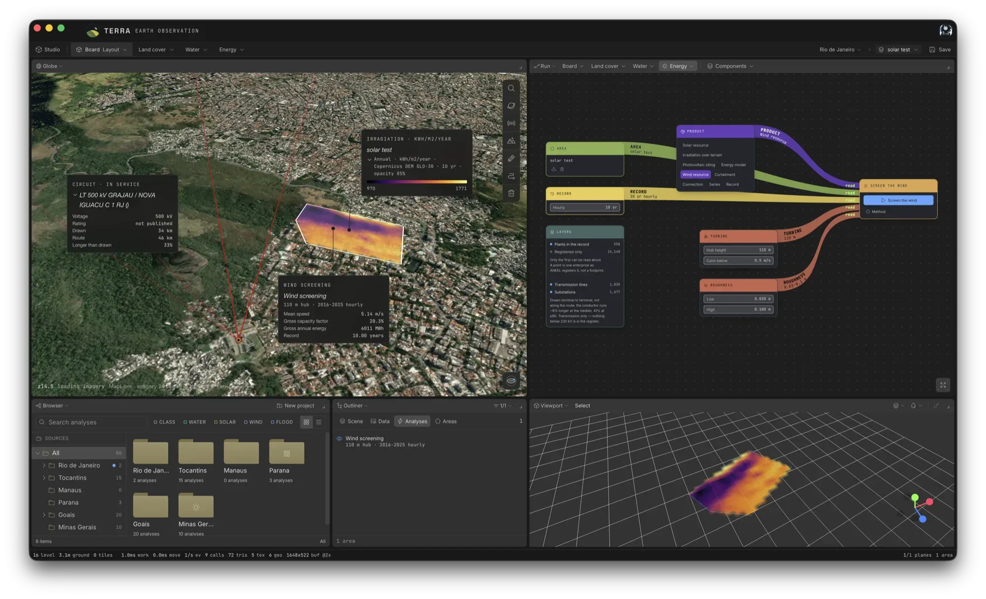
The site: solar and wind
- Irradiation received at the point, from the NASA POWER hourly record
- How that irradiation falls across the terrain, on each cell's own slope and aspect from a Copernicus DEM GLO-30 grid
- Where in the area a plant can be sited, accounting for slope and for what already occupies the ground
- What such a plant would yield, with each loss term declared
- A screening of the wind resource
The grid: the other half of the question
A site's resource is one half of the question; the system it would join is the other. From the national operator's published record (ONS) and the ANEEL plant register, TERRA reads what each metered plant in Brazil generated, what it was told not to generate, and the transmission network a site would have to reach, drawn on the map as lines and substations under the plants.
Why not from Sentinel-2
Surface irradiance cannot be retrieved from Sentinel-2. It carries no broadband radiometer, its revisit is five days and its overpass time is fixed. These products therefore read a different family of source: hourly reanalysis of the same ground.
Secondary, and said so
Crop and land-cover classification is what TERRA is built around, what the published protocol covers, and what the validation work applies to. Solar and wind were added because the same area and terrain answer those questions too, not because they carry equivalent methodological backing. Treat their output as a screening step rather than as a siting study.
!Current constraints
- Point figures do not resolve the field. Radiation comes from a one-degree cell and wind from a 0.5 × 0.625° MERRA-2 cell. The terrain and siting maps resolve at 30 m.
- The wind capacity factor excludes wake, availability, electrical, icing and curtailment losses.
- The grid reading describes metered plants and says nothing about a site that has none. It is not a permitting analysis, an access opinion or a forecast.