
LC-01Product sheet
Land cover
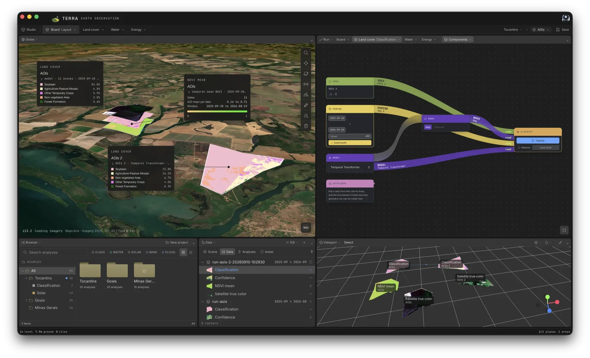
TERRA classifies land cover over an area of interest from a Sentinel-2 L2A time series, and gives every pixel a class and a confidence.
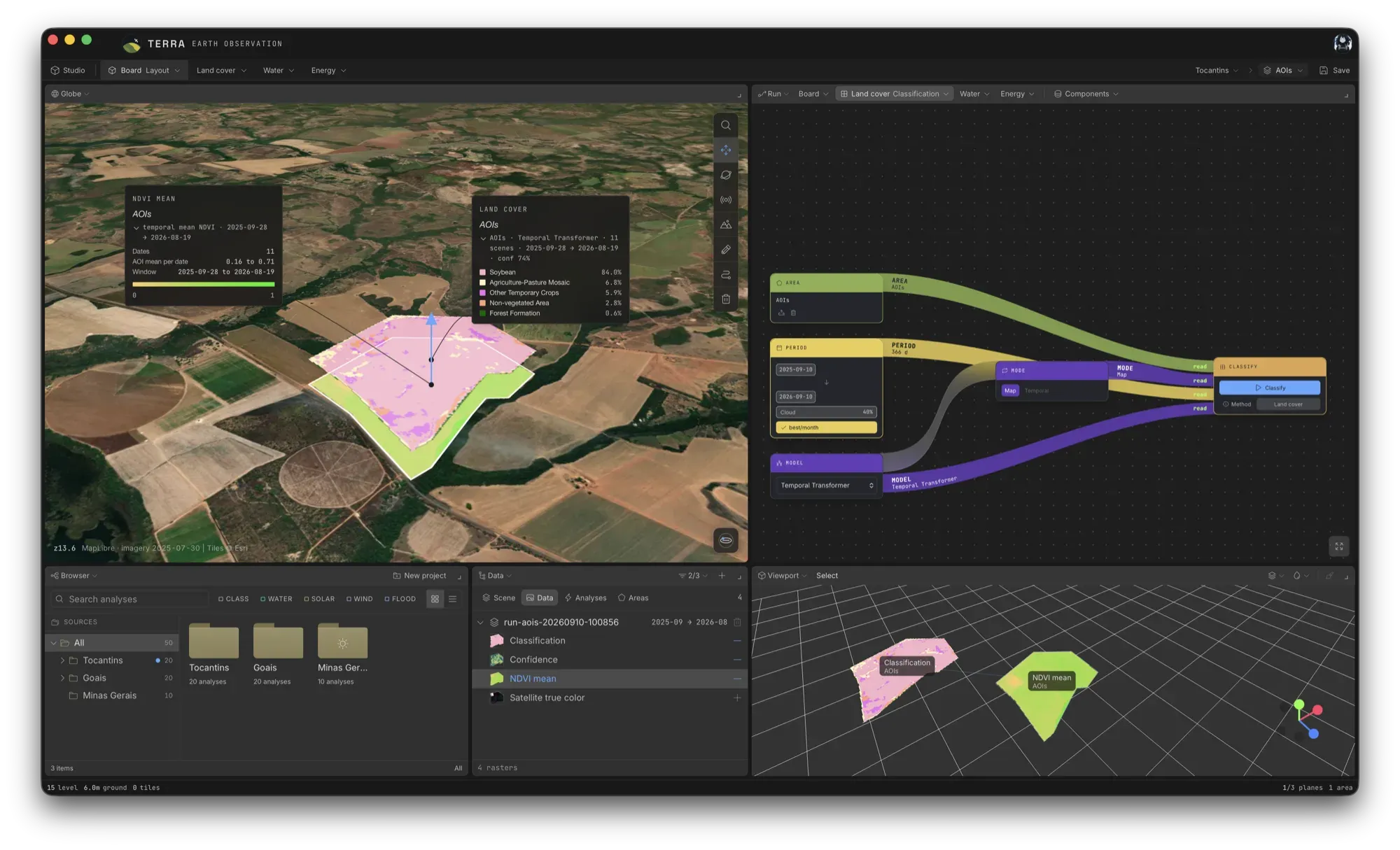
Five classes, one protocol
Three model paths run over the same area protocol, and all of them emit the same five MapBiomas classes: forest formation, agriculture–pasture mosaic, non-vegetated area, soybean and other temporary crops.
Reading a season of scenes rather than one date is what lets the classifier tell apart crops that look alike on any single day. It is also how it gets past the cloud that covers part of most Sentinel-2 scenes.
What comes out
- A class overlay and a confidence overlay, as PNG and GeoTIFF
- Vegetation-index series (NDVI, EVI, SAVI) and a phenology summary
- MapBiomas land cover and use over the same area, where it falls in Brazil
- The share of each class, in hectares
Three model paths
| Model | What it reads | Artifact |
|---|---|---|
| Spectro-temporal Random Forest Default | 80 features per pixel: band statistics, NDVI/EVI/SAVI temporal descriptors, 22 raw NDVI dates | 300 trees at depth 20 |
| Temporal Transformer Optional | Six bands padded to 22 dates, mean-pooled over time | PyTorch model |
| Prithvi-EO 2.0 300M Optional | One acquisition: frozen foundation-model embeddings with a Random Forest head | Weights fetched on first run |
!Current constraints
- The legend is fixed. The current models cannot predict pasture, savanna or any other MapBiomas code.
- The current models were fitted for western Paraná study areas; adapting them to other ground is in research.
- Class 41 is a residual bucket: high overall accuracy does not imply fine crop identity.
- Areas in hectares are pixel counts, uncorrected for classification error.
- Prithvi takes the middle scene of the window and discards the rest, so widening the period changes which acquisition is read rather than how many.