
FL-07Product sheet
Flood envelope
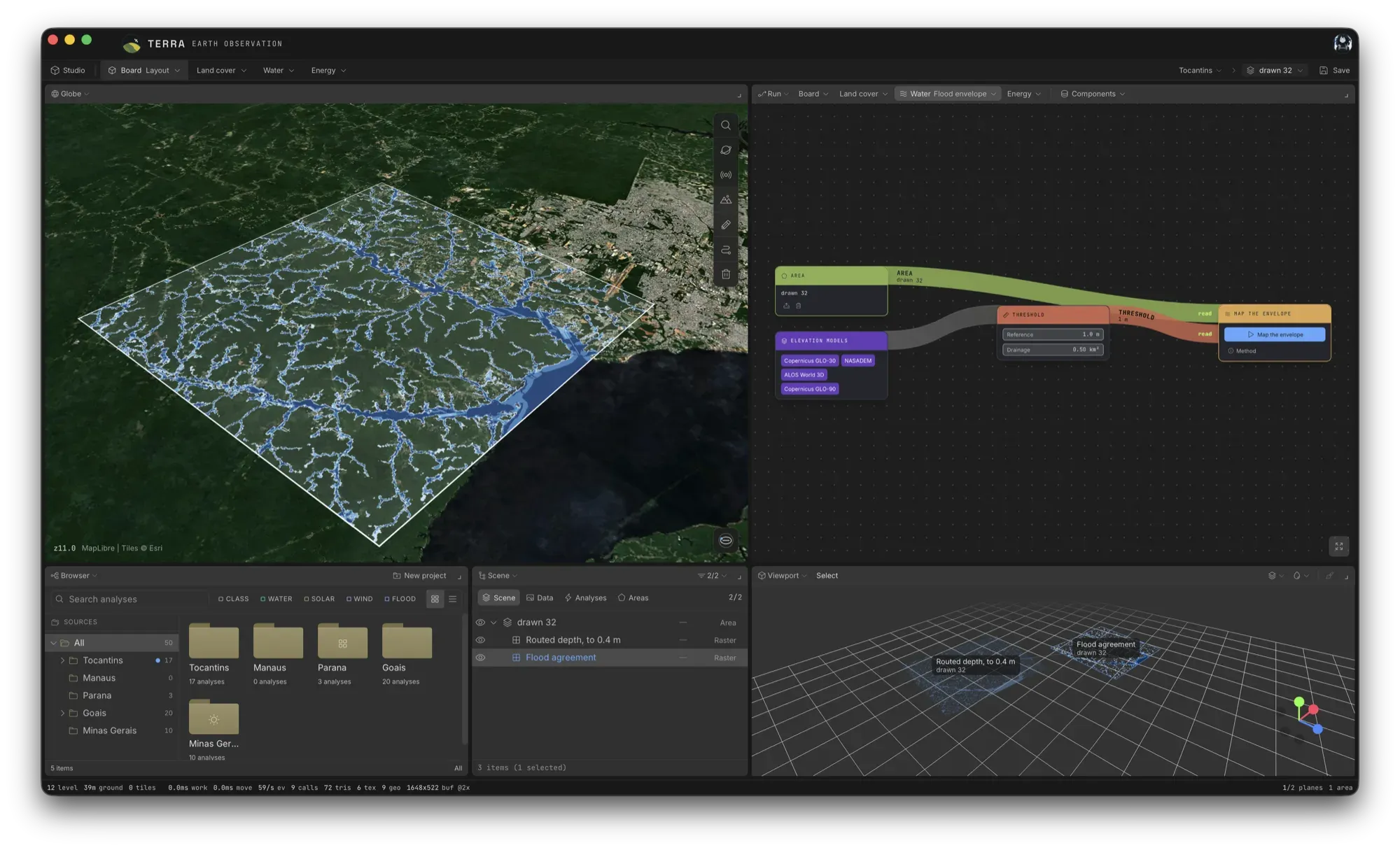
Where would water stand first? TERRA measures height above the nearest drainage on four elevation models, and shows where the answer depends on which model you chose.
An envelope, not a line
Every cell is tested on each of the four elevation models. Where all four call it flooded, the terrain decides. Where only some do, the choice of elevation model decides, and the map shows that too.
What HAND is, and what it is not
HAND is the height of a cell above the drainage cell it flows to. A threshold in metres ranks relative susceptibility. It is not a flood depth and it is not a hydrodynamic model: rainfall, discharge and channel geometry are not modelled. For water that moves, see Water routing.
The measured window
The terrain chain runs on the area plus a buffer on every side, so the drainage entering the area is measured terrain. Figures are reported over the area, with the buffered window beside them as provenance.
!Current constraints
- It is not a flood depth, extent or probability, only a relative ranking of susceptibility.
- Drainage arriving from beyond the buffer is absent.